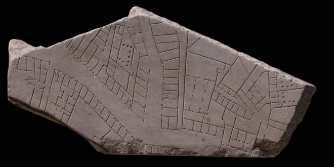
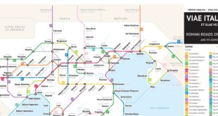
Maps are a useful modern tool, telling us how to get places, showing us where borders lie, and illustrating the distance between two places. While modern technology has made the creation of and access to maps something we don’t think twice about, the creation of maps during ancient times was far more complicated. Without the availability of GPS, air travel, and computers, ancient civilizations had to rely on other means for the difficult task of creating maps. One ancient map – the Forma Urbis Romae – has been a mystery for years, serving as a complex jigsaw as researchers continue to uncover various pieces of the puzzle, including a recently discovered fragment that has just been reunited with the other existing pieces.
Lire l’article complet de mrreese sur http://www.ancient-origins.net/news-history-archaeology/new-piece-2200-year-old-roman-puzzle-emerges-bringing-together-ancient-map-020760
 Arrête ton char Langues & Cultures de l'Antiquité
